README
Mini Map Macau 🚈🚌✈️🛥️


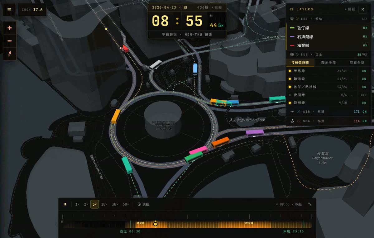
3D visualization of Macau's public transit, ferry, and aviation system, inspired by Mini Tokyo 3D and Mini Taiwan.
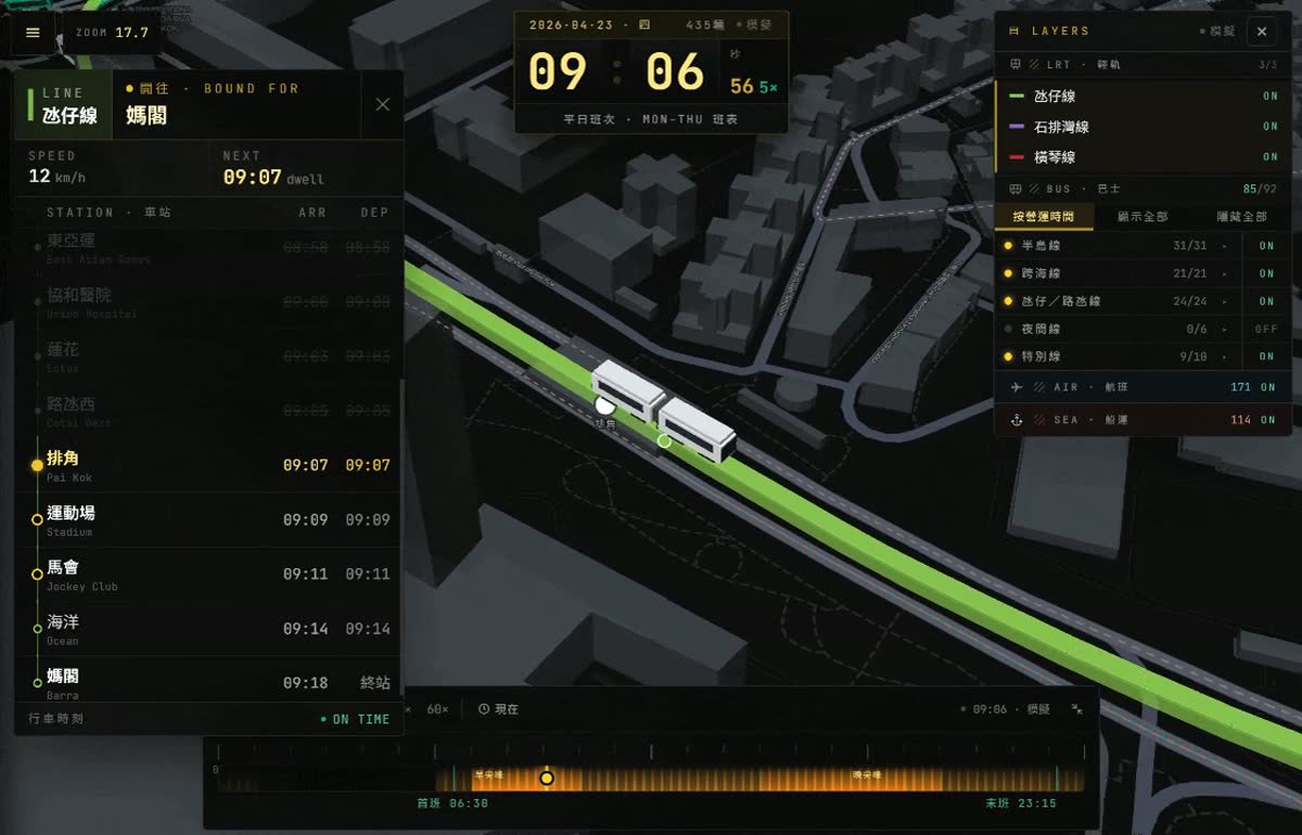
Visualizes the Macau Light Rapid Transit (LRT), bus network, HK–Macau ferry routes, and MFM airport flights on an interactive 3D map. Vehicles move along actual geometry in a timetable-driven simulation, with an opt-in RT mode that replaces simulated bus positions with live DSAT realtime data.
How "live" is this? See Data freshness & update strategy for a per-layer breakdown — LRT / buses / flights / ferries each sit at a different point on the simulated-to-live spectrum.