README
NASA Worldview
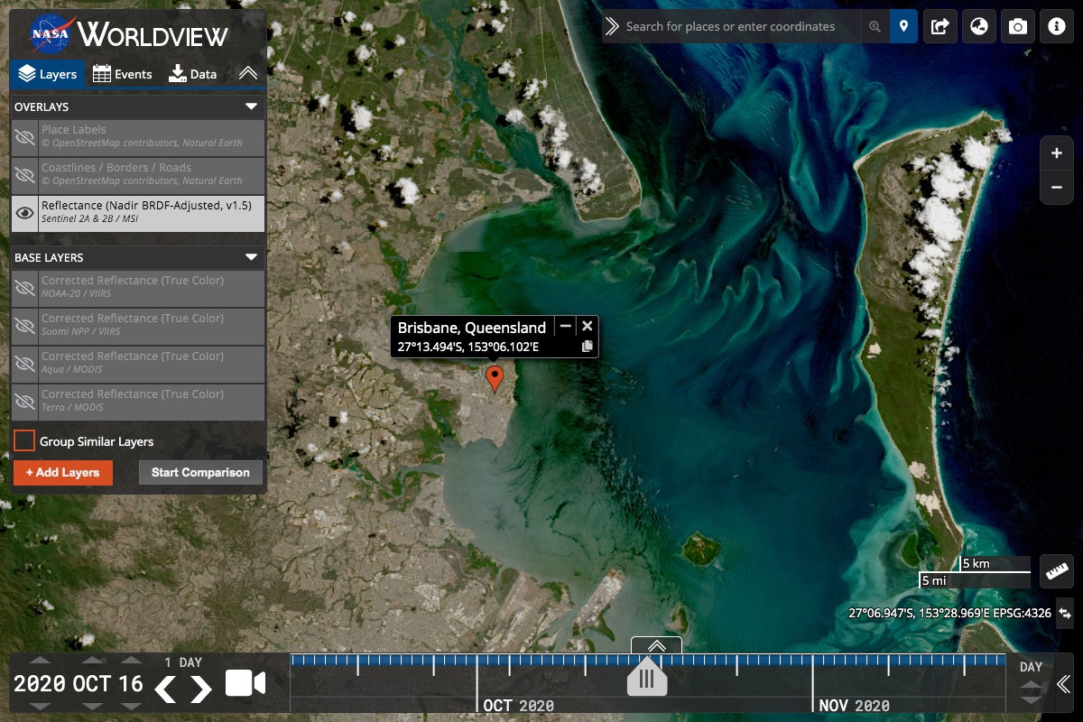
![]()
Interactive interface for browsing full-resolution, global satellite imagery.
Background
This app from NASA's ESDIS provides the capability to interactively browse over 1000 global, full-resolution satellite imagery layers on desktop and mobile devices. Many of the imagery layers are updated daily and are within three hours of observation - showing the entire Earth as it is "right now". This supports time-critical applications such as wildfire management, air quality measurements, and flood monitoring. Some satellite imagery layers span almost 30 years, providing a long term view of our dynamic planet. The underlying data is available for download, and Arctic and Antarctic views of several imagery layers are available for a “full globe” perspective. Geostationary imagery layers are also now available. These are provided in ten minute increments for the last 90 days. These full disk hemispheric views allow for almost real-time viewing of changes occurring around most of the world.
Worldview uses OpenLayers to display imagery from the Global Imagery Browse Services (GIBS). This imagery can also be used with libraries such as Leaflet, Cesium, Google Maps or custom GDAL scripts. We encourage interested developers to fork Worldview or build their own clients using GIBS services.
Check out our roadmap to see what we're working on and follow our blog to find out the latest features and imagery available.